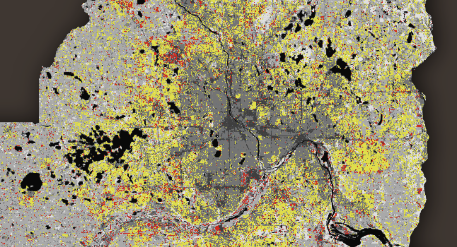
Click the image of each project to view it's respective presentation

Metro-Counties Change Detection: using multispectral satellite imagery, and supervised classification; a land use map was able to be produced. This was repeated throughout a selection of years between 1975 and 2015 to conduct a change detection. We are then clearly able to see areas of growth from the metropolitan area. Read the final paper here.
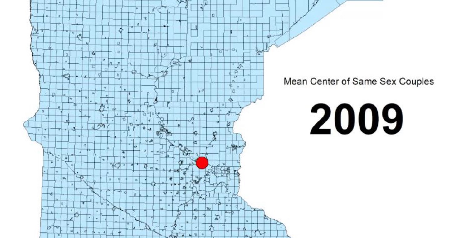
Mapping of Same Sex Couples; Minnesota: Read my related final paper, "The Struggles of LGBTQ Migrants".
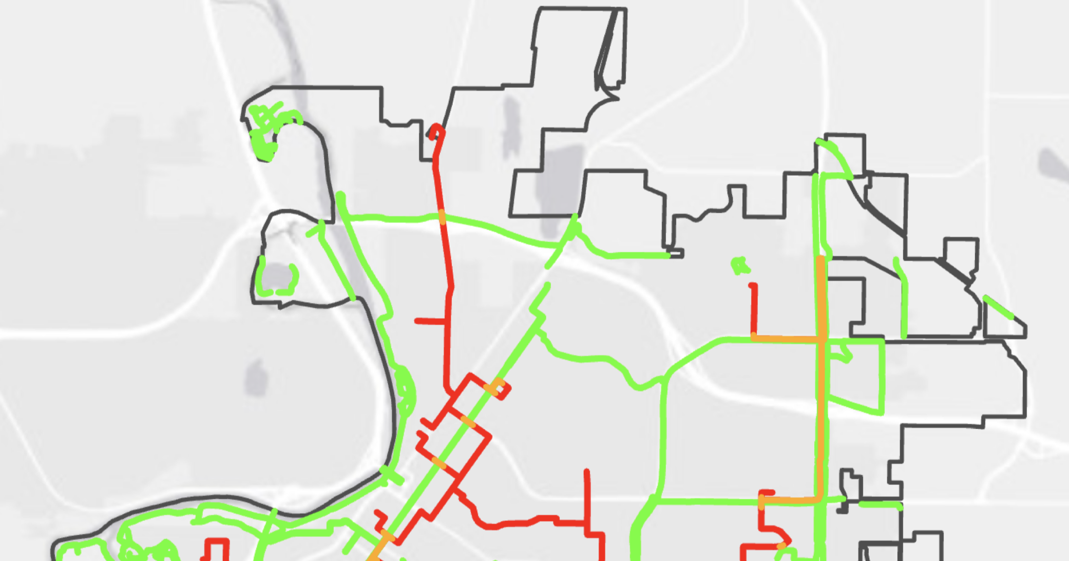
Mankato Bike Path Suitability: used Network Analysis, as well as density analysis of the area to find suitable connections and expansions of the bike routes in Mankato. Also used LiDAR to produce a rough 3D model of the area, and it's relation to bike routes.
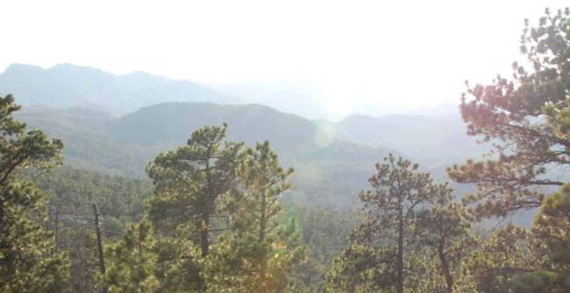
Ponderosa Pines Report: used Adobe InDesign, Illustrator and GRASS GIS to produce a complete story about Ponderosa Pines in the Black Hills of South Dakota.
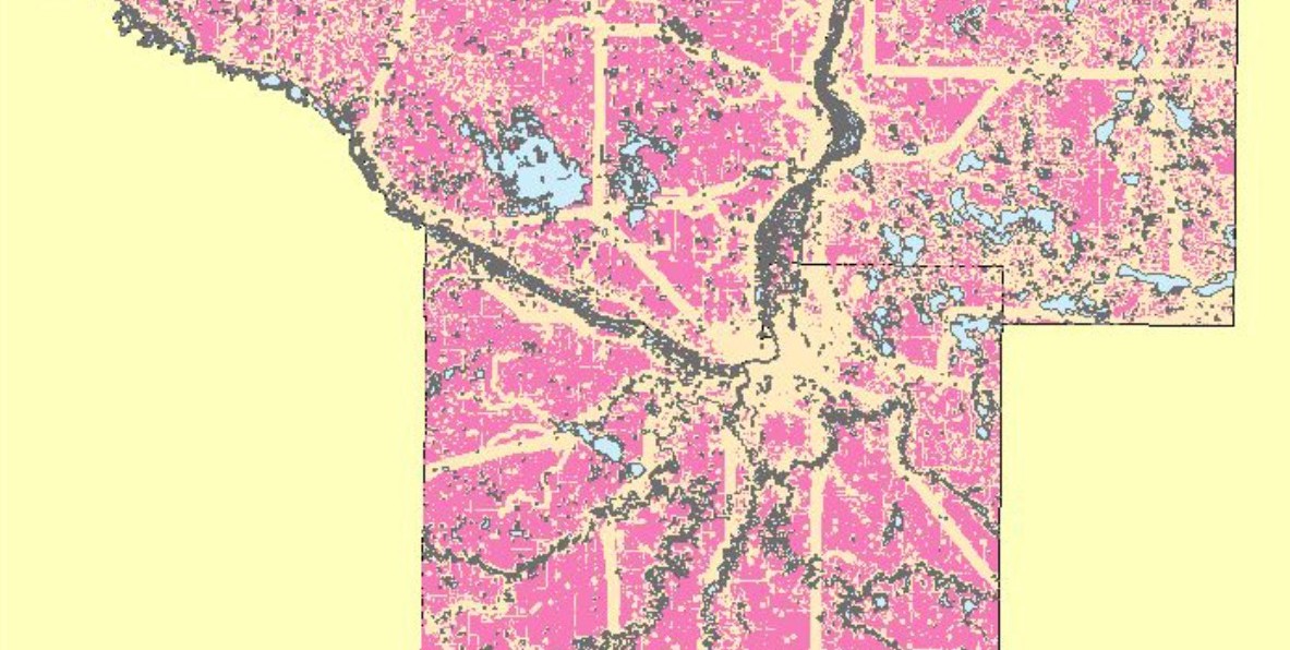
Best Location for Tiny House Communities in the Mankato Area: Read the final paper here.
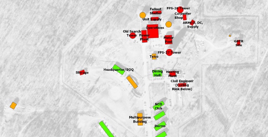
Finland, MN Historical Photo Analysis: used historical imagery, and historical resources to see potential locations of contamination that happened decades ago. Process include georeferencing, and stereo-imagery interpretation. Also created a rough 3D representation of the current site.
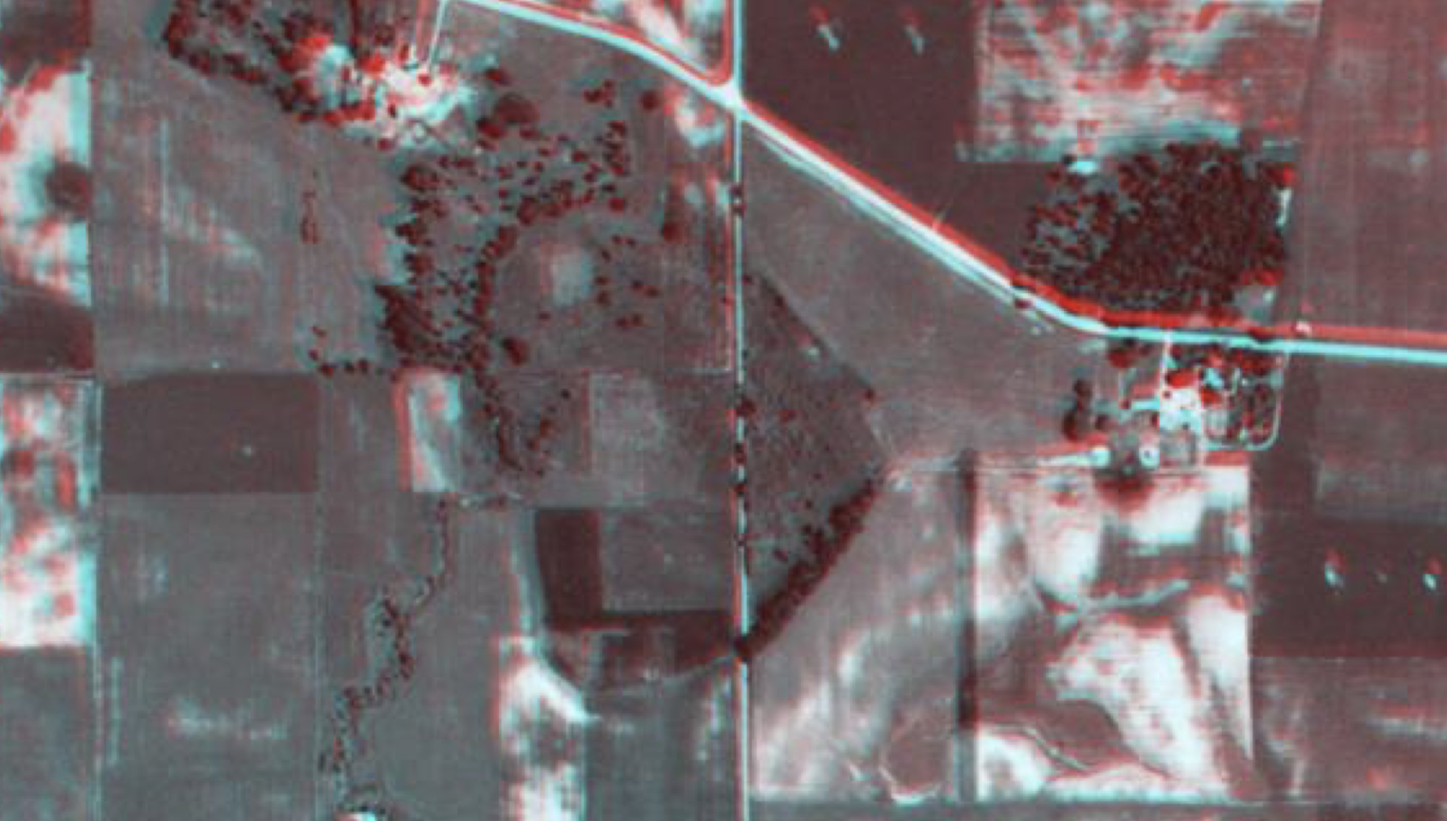
Wetland Delineation: used imagery, stereo-imagery, and historical survey notes to delineate a wetland that has not been documented in the NWI. Derived elevation models, including DEM and hill-shade. Used other data such as soil ratings, and type.
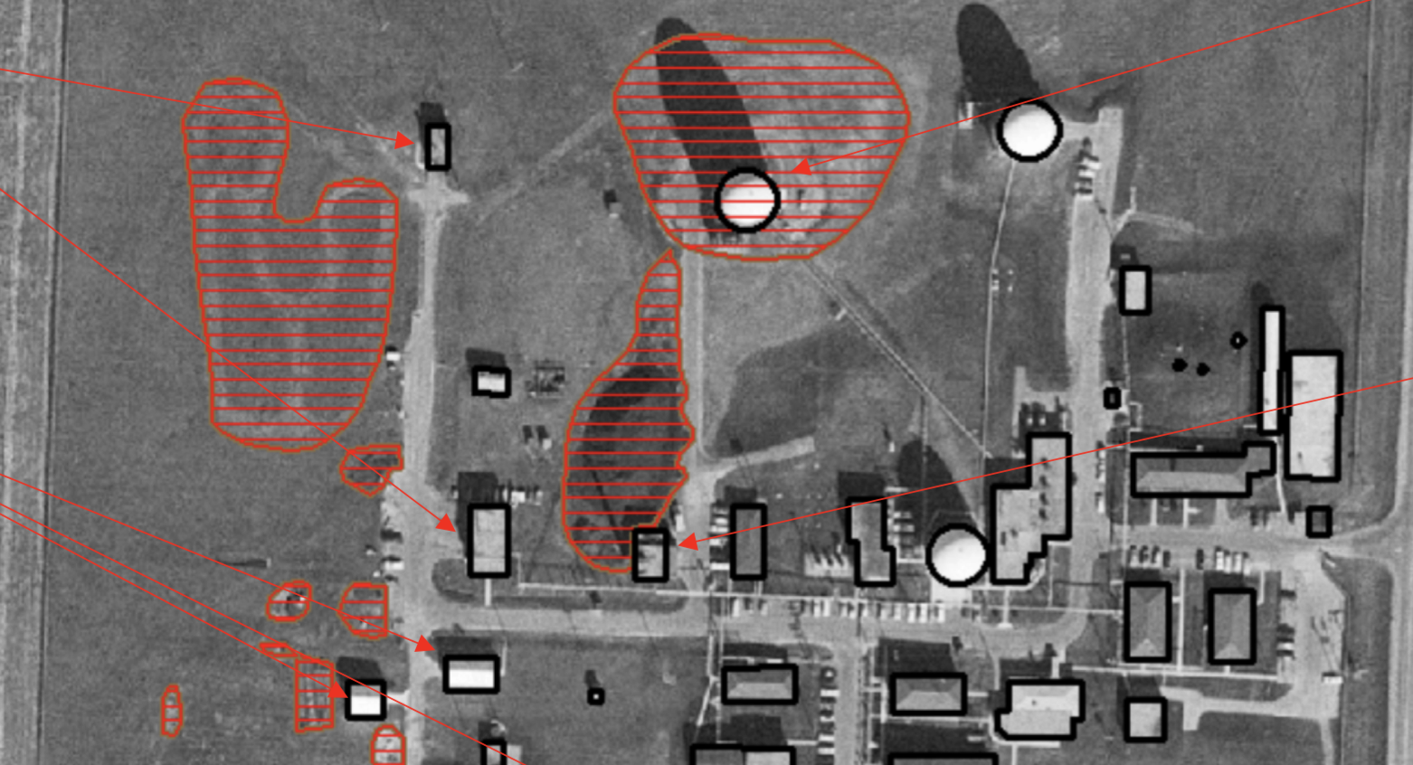
Chandler, MN Historical Photo Analysis: used historical imagery, and historical resources to see potential locations of contamination that happened decades ago. Process include georeferencing, and stereo-imagery interpretation.
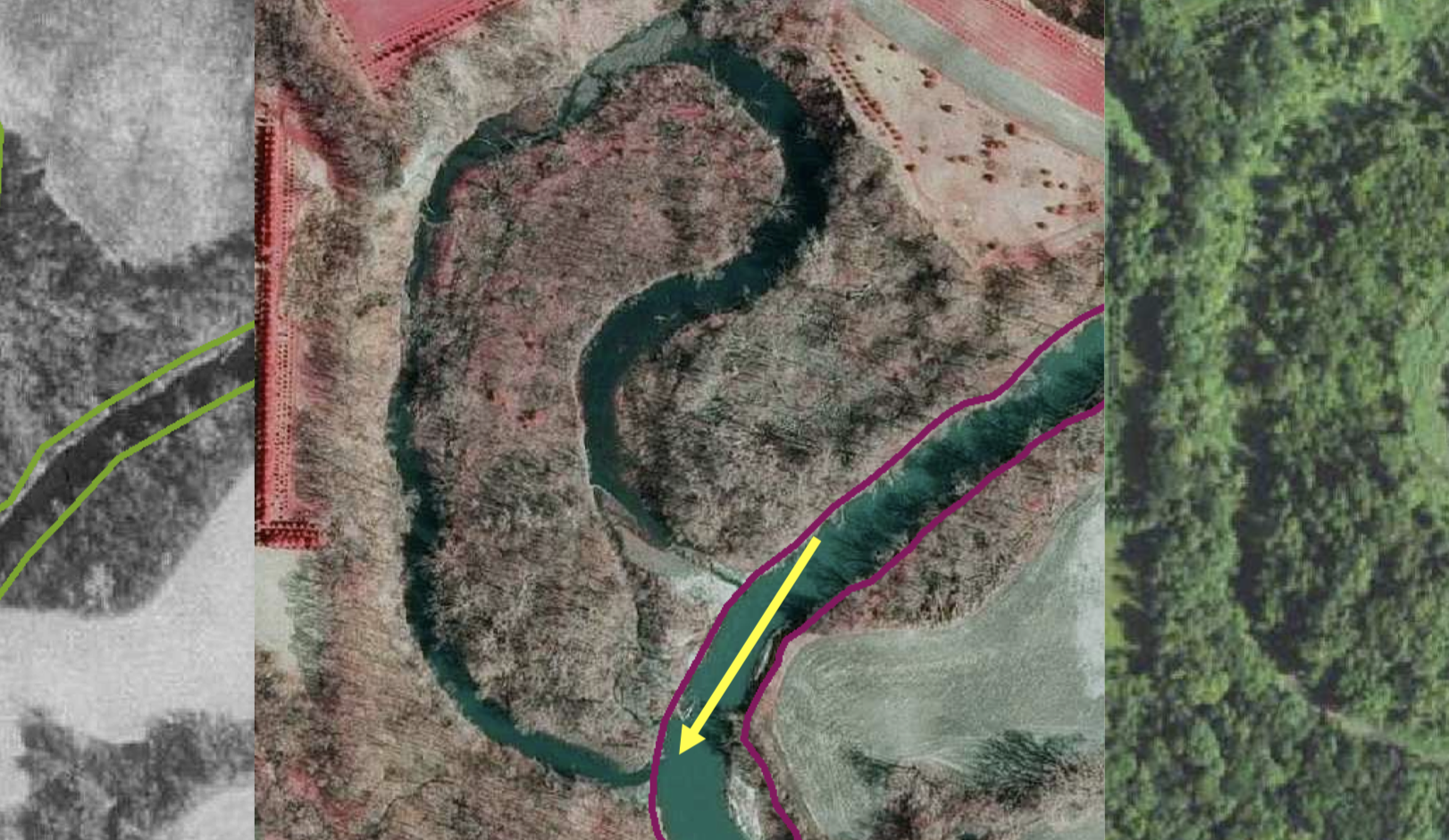
Bankline Digitizing: worked in teams to produce digitized banklines throughout time. Measured change in banklines, and found greatest spots of erosion. Also used LiDAR data, and renderings for representation and better identification of the most at risk locations.
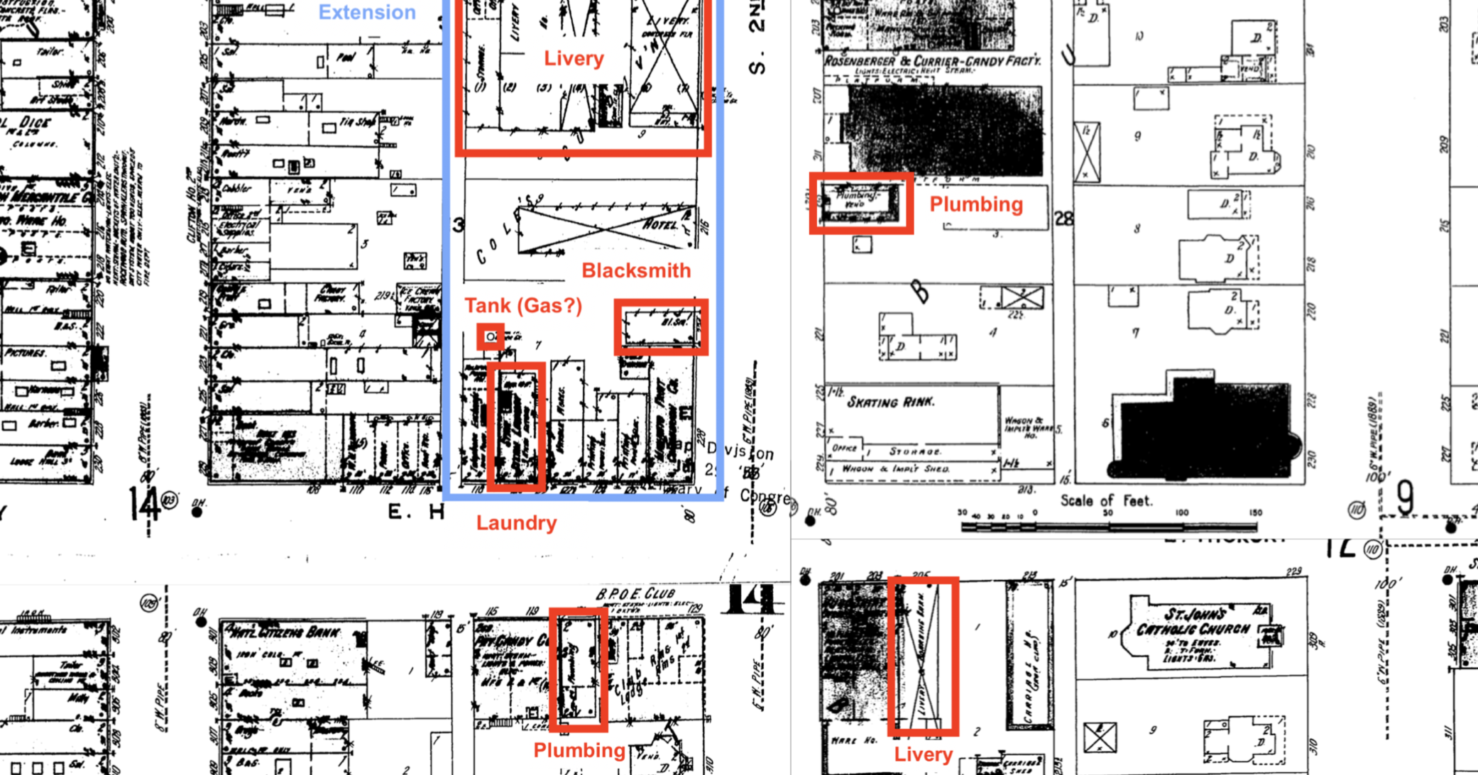
Sanborn Maps: used historical Sanborn maps to identify possible hazards on current infrastructure. GIS allows the past to come back through georeferencing, and a bit of research.